
Hiking Trail
Grenzau circular hiking route to the Roman tower/street and back / pleasure route 3
Route profile
Notice
In the tour planner we inform you under the tab "Current info" about temporary route changes, closures and detours.
To the Tour Planer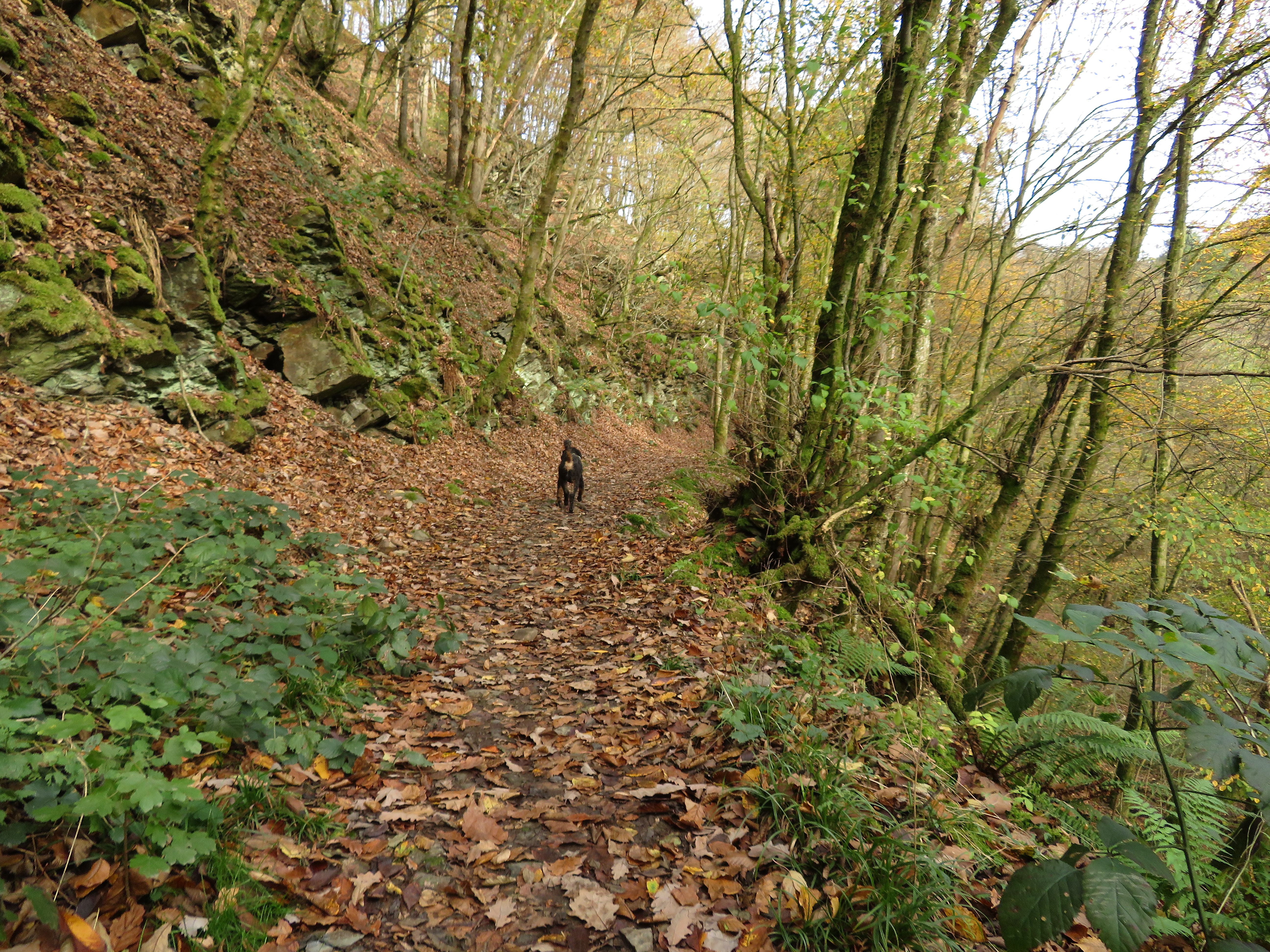
Description
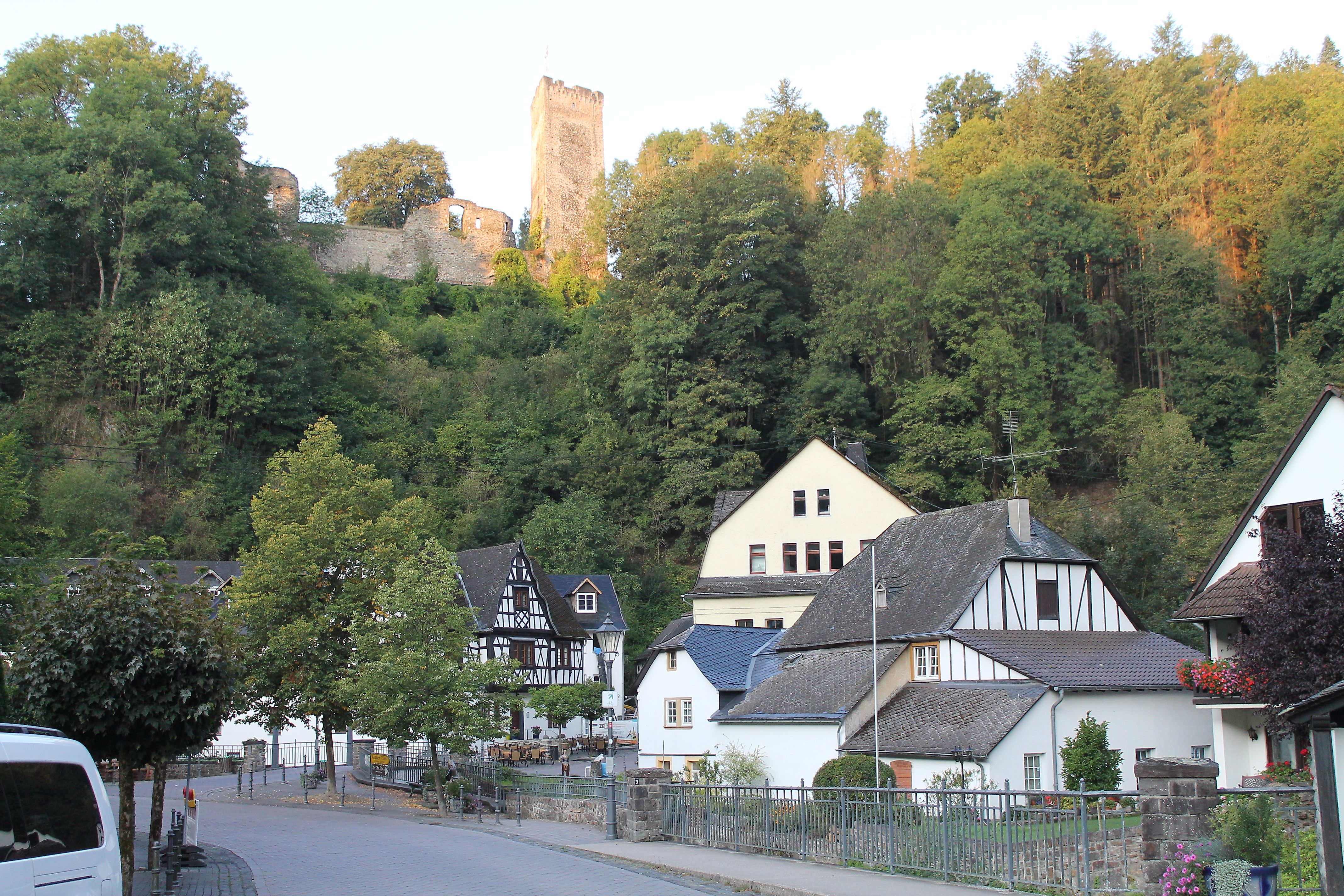
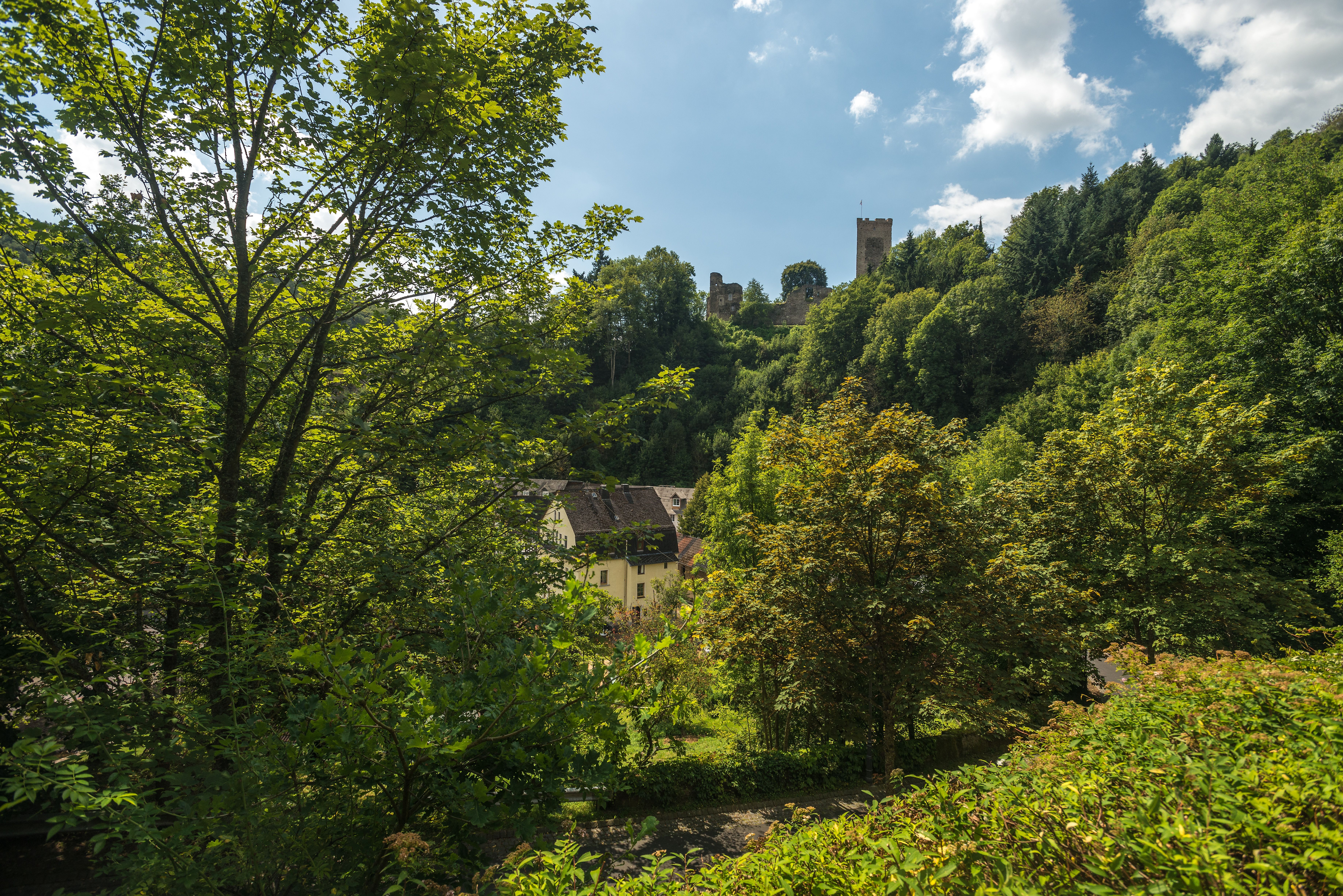
The starting point is the small hiking parking lot in the Grenzau district at the foot of Grenzau Castle. The circular route runs directly through the idyllic Brexbach valley and offers a great natural landscape. After overcoming some altitude, the Roman tower above Bendorf provides a good opportunity for a short rest before a longer break at the Meisenhof forest inn would make sense after a few minutes' walk. From there, it goes initially "flat" back to the starting point. From the Höhr-Grenzhausen area, the last two kilometers are even downhill, allowing you to relax as you finish the hike in the Grenzau district.
Approach
From the A48 highway exit – Höhr-Grenzhausen, follow the road signs to the Grenzau district. In the town center, before a small bridge, there is an entrance on the left to a free hiking parking lot.
Public transport
By bus to Höhr-Grenzhausen. Lines 437, 462, 465, and 485. Either stop at the Westerwald Ceramics Museum or Schillerstraße. From there, walk one kilometer into the Grenzau district. In the town center, before a small bridge, there is an entrance on the left to the start and finish point.
Parking
There are free parking spaces at the start and finish point.
Directions
You walk from the parking lot directly into the Brexbach valley, initially passing the Oster Mill. We walk on a forest trail through the high forest, cross the tracks of the former railway line, and come onto a forest road. This gently descends to Steinebrück, a viaduct of the railway line. From there, you continue walking through the Brexbach valley and pass a reconstructed Roman tower before heading towards Meisenhof. From there, a forest road marked as part of the Limes hiking trail leads to the state road coming from Bendorf. You cross this and after a few meters keep left towards Grenzhausen. The path ends at a small staircase to the state road. You cross this slightly to the left and after a few meters go right onto a forest road over the field. Follow this straight ahead to the road to Grenzau. There, turn left and after a few meters a path leads towards Birkenflur and downhill towards the starting point.
Safety instructions
Wear sturdy footwear and weather-appropriate, suitable clothing that protects you from cold and wet or heat and sun. Please wear hiking shoes appropriate for the path, which provide sufficient support even on slippery and steep or rocky and uneven paths. Take enough fluids with you; refreshment stops are not available everywhere. Especially in autumn, be aware that fallen leaves can cover uneven spots, roots, stones or holes in the path. You should expect such impairments on the path when hiking. Although the path is very well marked throughout, for safety reasons you should always carry a suitable hiking map with you.
Equipment
This is a path of medium difficulty, which can be easily walked with sturdy footwear.
Tips
Plan a short break at the Roman tower Bendorf or at the Westerwald Ceramics Museum (200 m from the trail).
Destination
Parking lot in the town center Grenzau, Brexbachstraße
Starting Point
Parking lot in the town center Grenzau, Brexbachstraße
More information & GPX download
Notice
In the tour planner we inform you under the tab "Current info" about temporary route changes, closures and detours.
To the Tour Planer