Hiking Trail
Hiking circular route KP1 from Höhr-Grenzhausen to the Köppel
Route profile
Notice
In the tour planner we inform you under the tab "Current info" about temporary route changes, closures and detours.
To the Tour PlanerDescription
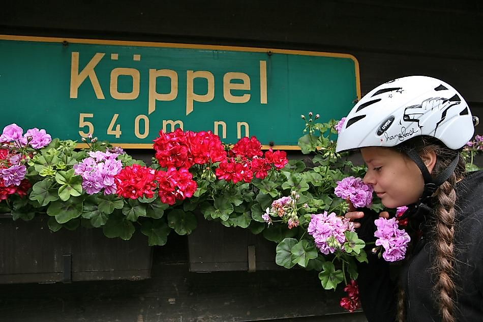
The Köppel is the highest elevation in the Nassau Nature Park area and a popular hiking destination. The circular route leads uphill over wide forest paths to the tower. Along the way, you repeatedly have great views, sometimes reaching the Rhine valley and into the Eifel region.
Approach
From the A 48 exit Höhr-Grenzhausen, turn left in the roundabout toward the town center. After 300 m, take the second exit in the next roundabout onto a bypass toward Hillscheid. Take the first exit off, then turn left up Bergstraße. At the end, you will reach the hiking car park.
Public transport
Unfortunately, there is no direct connection by public transport. You can take VRM line 437 from Koblenz to the stop "Ferbachtal" in the center of the Höhr district. From there, it's about 1.5 km (but uphill) to the starting point.
Parking
You can park for free at the starting point. Bergstr. 78, 56203 Höhr-Grenzhausen
Directions
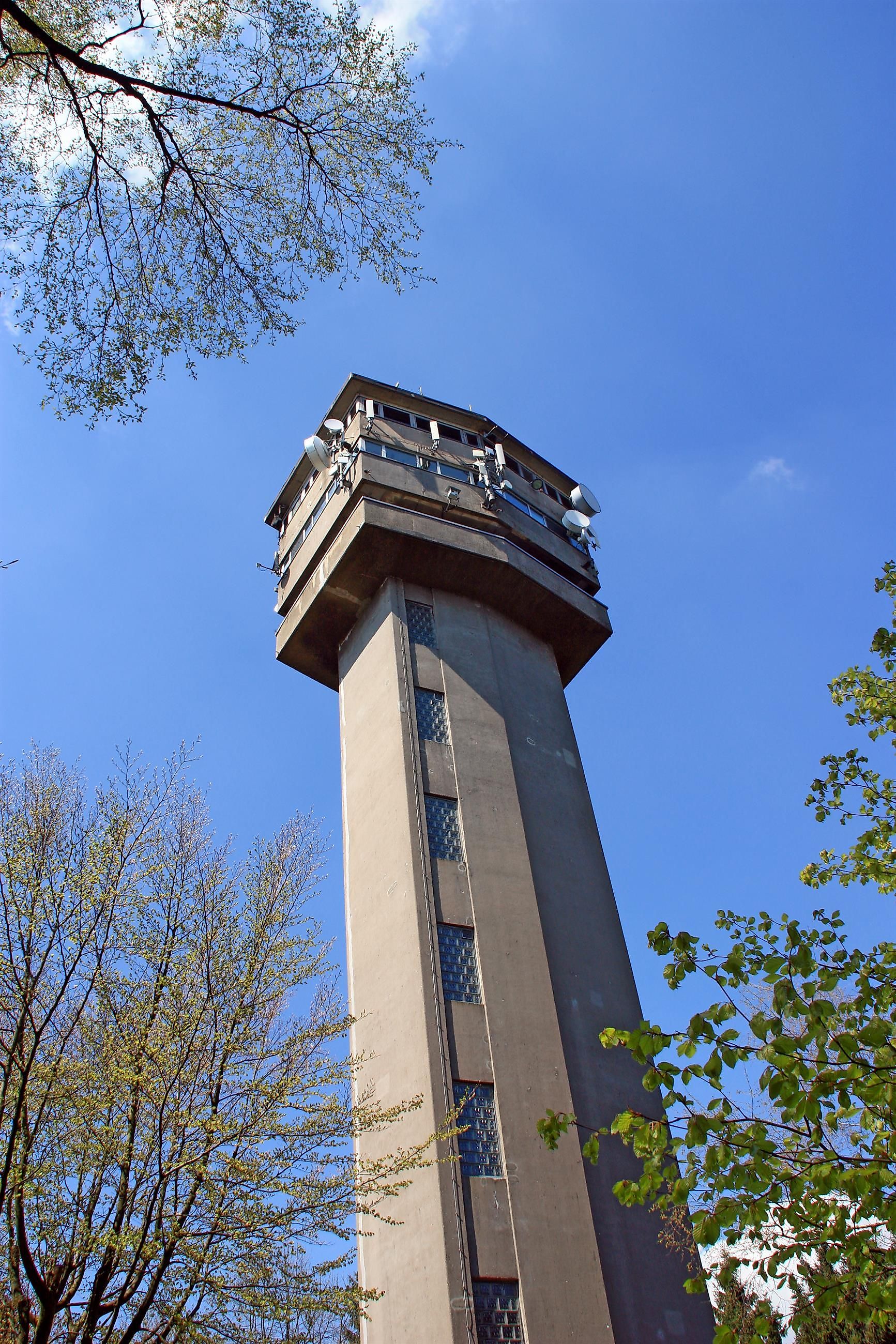
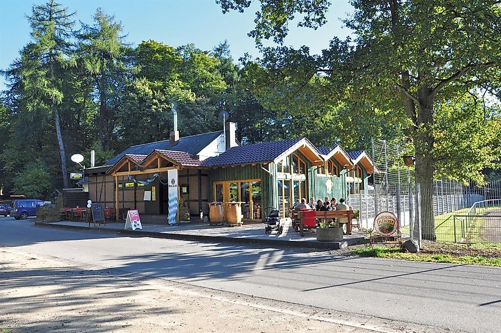
The starting point of the hiking trail is located in Höhr-Grenzhausen at the Flürchen hiking car park. At the beginning, the KP1 route passes the barbecue hut heading towards Köppelberg. The ascent is moderate but steady. You follow the signposting "KP1". At the Thiels hut, turn left and continue hiking uphill to the Köppelturm. Along the way, the path offers several opportunities for short breaks with magnificent views of the Rhine valley. Below the impressive transmission tower, the KP1 hiking trail initially leads downhill on an asphalt forest road to the so-called Elgendorferstraße. From there, continue for a few hundred meters along the road until you turn slightly left onto a forest path again. Follow this path for about two kilometers, moderately uphill, before going down to the right and straight ahead back towards the starting point at Flürchen.
Safety instructions
Wear sturdy footwear and weather-appropriate, practical clothing that protects you from cold and wet or heat and sun. Please wear hiking boots suitable for the path that provide sufficient grip even on slippery and steep or rocky and uneven trails. Bring enough fluids with you, as there are not everywhere places to stop for refreshments. Especially in autumn, note that leaves on the ground can conceal uneven spots, roots, stones, or holes in the path. You should expect these types of trail impairments when hiking. Although the path is very well marked throughout, for safety reasons you should always carry a suitable hiking map.
Equipment
Sturdy footwear is advisable because the trail goes uphill and downhill.
Tips
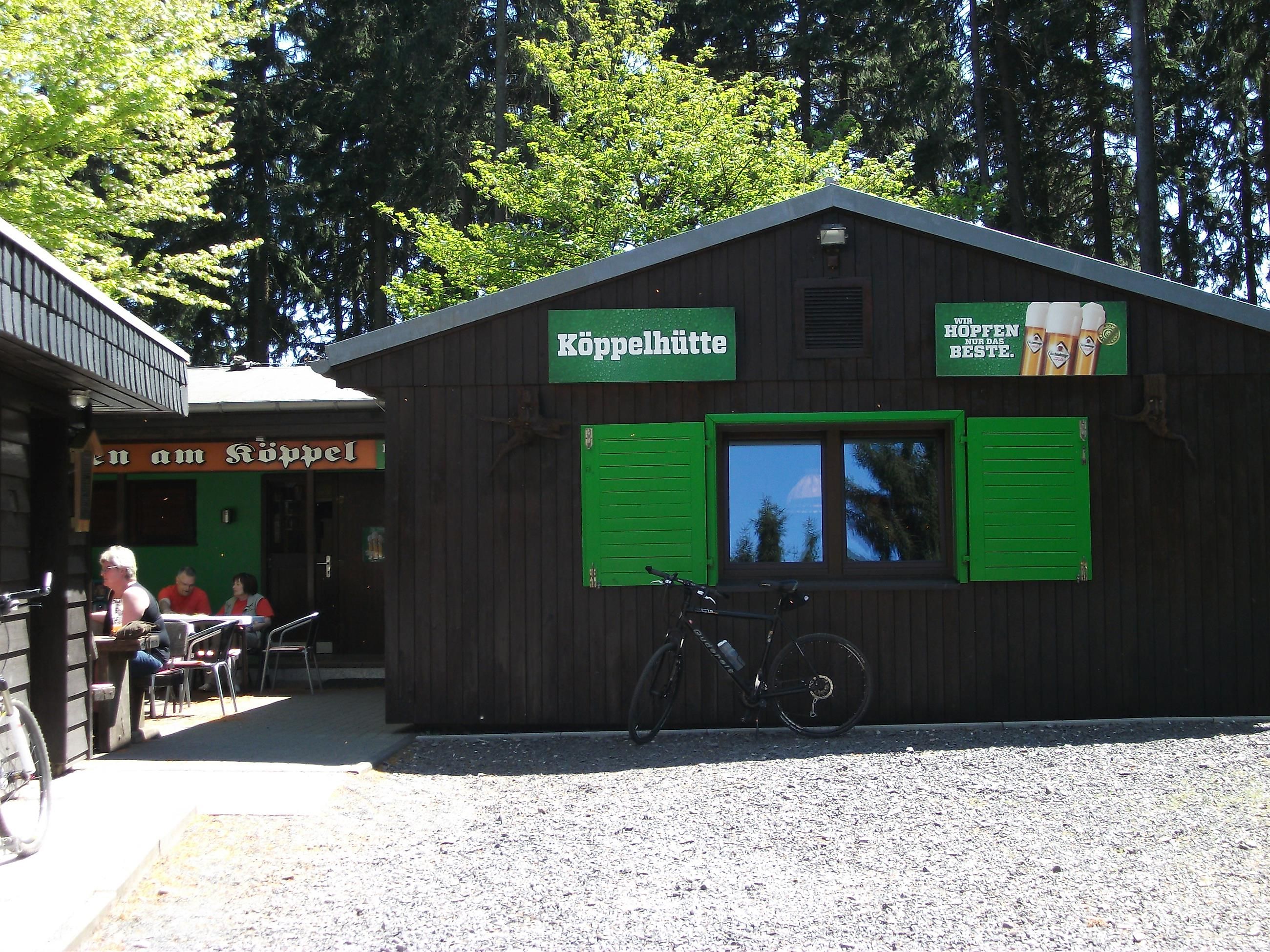
You should plan some time for a break at the Köppelhütte. There you can also climb the Köppelturm and enjoy a magnificent view.
Literature
Free flyer "Hiking around the Köppel".
Available at Kannenbäckerland Tourism Service
Höhr-Grenzhausen, Lindenstraße 13 (in the Ceramics Museum), 56203 Höhr-Grenzhausen
Telephone: 02624 19433
Email: hg@kannenbaeckerland.de
Internet: www.kannenbaeckerland.de
Destination
Hiking car park Flürchen, Bergstr. 78 in 56203 Höhr-Grenzhausen
Starting Point
Hiking car park Flürchen, Bergstr. 78 in 56203 Höhr-Grenzhausen
More information & GPX download
Notice
In the tour planner we inform you under the tab "Current info" about temporary route changes, closures and detours.
To the Tour Planer


